
FEMA References and Flood Maps
FEMA
The Federal Emergency Management Agency (FEMA) is a federal agency under the Department of Homeland Security that aims to help people before, during, and after disasters. FEMA has roughly 20,000 employees that work to ensure that the country is equipped and prepared to respond to disasters.
Floods
A flood is an overflow of water. Floods often happen in areas close to bodies of water such as rivers, brooks, and lakes. While most floods happen near bodies of water, they can occur almost anywhere. Some common causes of floods include periods of heavy rains, poor drainage, and nearby construction projects.
FEMA Flood Maps
Using Flood Maps
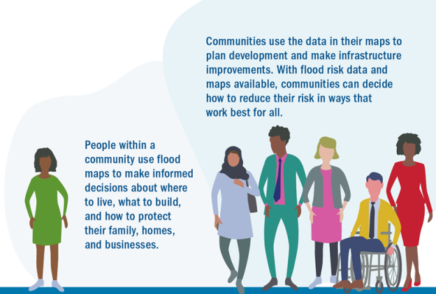
Photo taken from: Flood Maps | FEMA.gov
Helpful Links and Resources:
FEMA Flood Maps General Information
FEMA Flood Map Service | Search a specific address
Hazard Mitigation Assistance Guidance
Risk Mapping, Assessment and Planning (Risk MAP)
Disaster Specific Information: